
Επίσκεψη στο Mont-aux-Sources
Χρήσιμες πληροφορίες για το κέντρο που θα σας βοηθήσουν να προγραμματίσετε το ταξίδι σας στο %{resort_name}
- Εναρξη σεζόν—
- Λήξη Σεζόν—
- Διαμονή—
- Εστιατόρια | Μπαρ— | —
- Κοντινότερο Αεροδρόμιο Durban
- Κοντινότερο τρένο —
- Iστοσελίδα
- Τηλέφωνο εξυπηρέτησης—
Παροχές στο Mont-aux-Sources
Η έκταση στο Mont-aux-Sources περιλαμβάνει:
- Halfpipes—
- Πάρκα—
- Cross Country—
- Ενοικίαση Εξοπλισμού Σκι—
What's it like at Mont-aux-Sources?
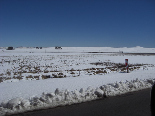
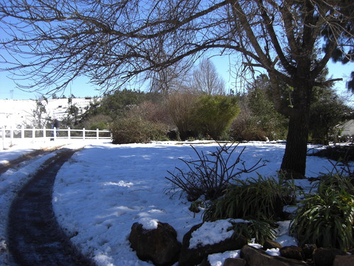
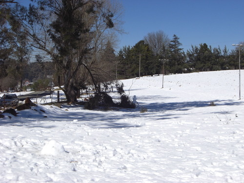
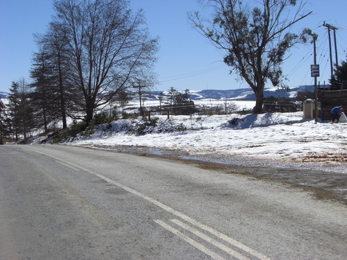
Mont-aux-Sources is a mountain block, forming one of the highest and most spectacular portions of the Drakensberg. It includes the Sentinel, a spectacular wall of 1,000 vertical feet. The high point of the massif is actually an inconspicuous protuberance, but it is important in that it forms the triangular corner where Lesotho meets the South African provinces of Natal and Orange Free State. The Mont-aux-Sources mountain is also the source for three major rivers (hence the name Mont-aux-Sources), which in places plunge spectacularly down the mountain wall. Tugela Falls, for example, is a series of five cascades which tumbles nearly 3000 feet over the east wall. The Mont-aux-Sources mountain is part of the Royal Natal National Park, which has a well developed system of marked trails, and includes many freestanding rocks in addition to the challenging walls.
Εξερευνήστε τον χάρτη τοποθεσίας του Mont-aux-Sources
Διαδραστικός χάρτης μονοπατιών και πίστας Mont-aux-Sources. Προβάλετε την πίστα και τα μονοπάτια, καθώς και τα γύρω εδάφη και ορεινά περιγράμματα για δράση στην εξοχή. Βρείτε και συγκρίνετε κοντινά θέρετρα με κλικ στους δείκτες θέρετρου.

Ποιος είναι ο μήνας με το περισσότερο χιόνι στο κέντρο Mont-aux-Sources;
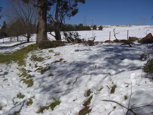
Πώς είναι το χιόνι τώρα στο Mont-aux-Sources?
Σύνοψη των συνθηκών χιονιού που ισχύουν αυτήν τη στιγμή στο Mont-aux-Sources. Βρείτε περισσότερες πληροφορίες στο Mont-aux-Sources σελίδα αναλυτικού δελτίου χιονόπτωσης.
- Κατάσταση πίστας—
- Κατάσταση εκτός πίστας—

| Υψος Χιονιού Κορυφής: | ||
|---|---|---|
| Υψος Χιονιού Βάσης: | ||
Κριτικές επισκεπτών για Mont-aux-Sources
Ο/η Debbie Miller από United States γράφει:
I LOVED climbing this mountain. Of all my activities in 14 years of living in southern Africa as a child, this was my favorite .. the view, the process of the climb .. love the freedom & the challenge
Πάτα εδώ να υποβάλλεις τη δική σου κριτική για Mont-aux-Sources
Χιονοδρομικά κέντρα κοντά στο Mont-aux-Sources
Ανακαλύψτε χιονοδρομικά κέντρα κοντά στο Mont-aux-Sources. Κάντε κλικ παρακάτω για να δείτε οδηγούς για χιονοδρομικά κέντρα.
 Afriski Mountain ResortΤελευταία χιονόπτωση: 4.0 cm Thu 02 Jul
 Αναβατήρες: 4
 Πίστες: 220 km μακριά
 TiffindellΤελευταία χιονόπτωση: 1.0 cm Thu 02 JulΑναβατήρες: 5Πίστες: 2237 km μακριά
- MatroosbergΤελευταία χιονόπτωση: 6.0 cm Sun 28 JunΑναβατήρες: 1Πίστες: —1019 km μακριά
 Mount HermonΤελευταία χιονόπτωση: 2.0 cm Mon 04 MayΑναβατήρες: 10Πίστες: —6937 km μακριά
 Zaarour ClubΤελευταία χιονόπτωση: 1.0 cm Tue 05 MayΑναβατήρες: 6Πίστες: —7004 km μακριά
 Nearest